Now At: $220 (2 bids)
Next Bid: $242
The 30 Minute Rule begins April 9 at 7:00 PM EDT. An Initial Bid Must Be Placed By April 9 at 6:00 PM EDT To Participate After 6:00 PM EDT
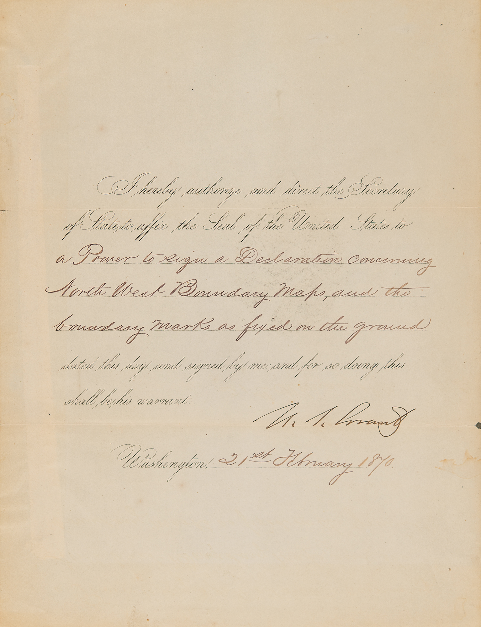
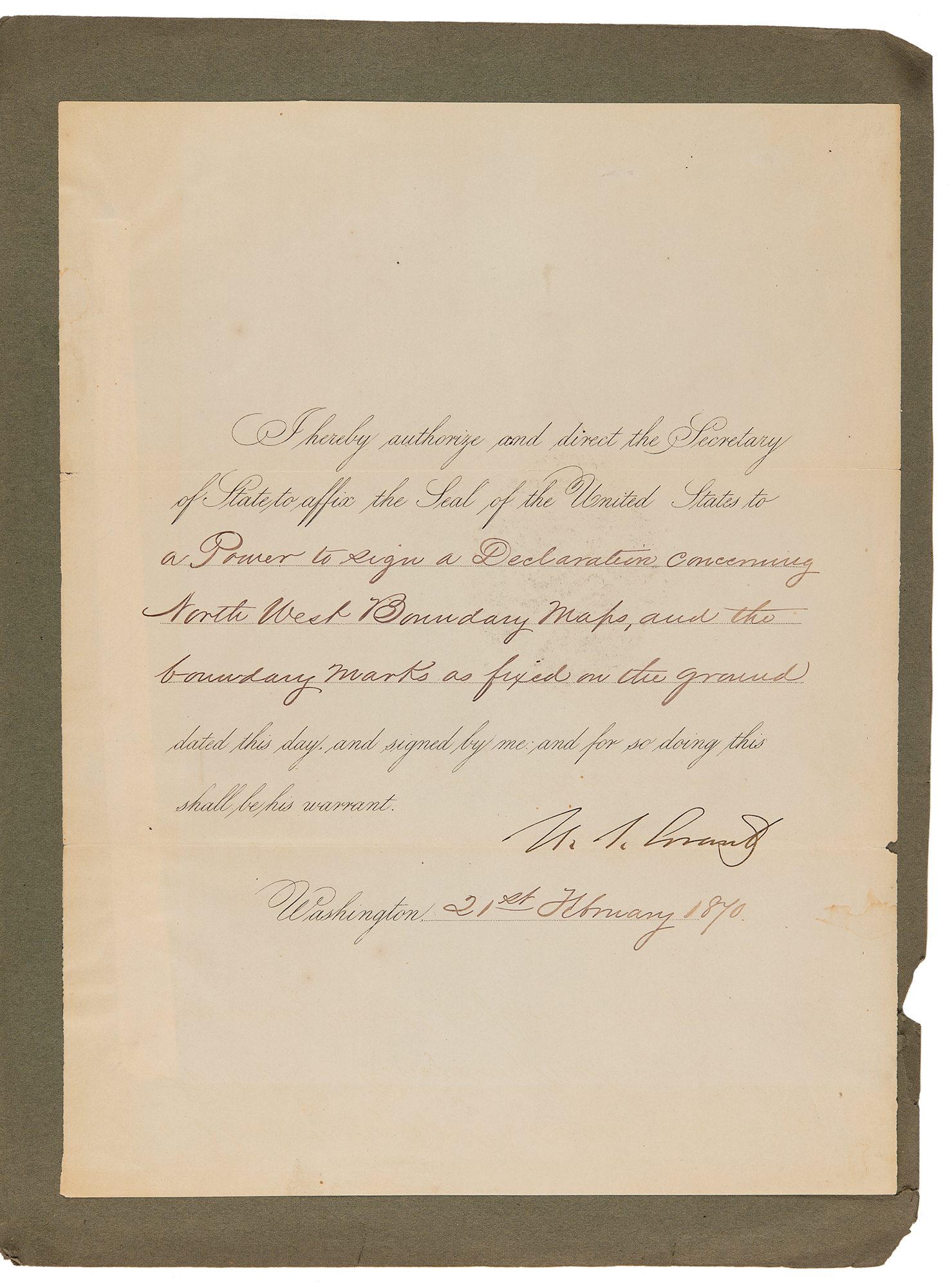
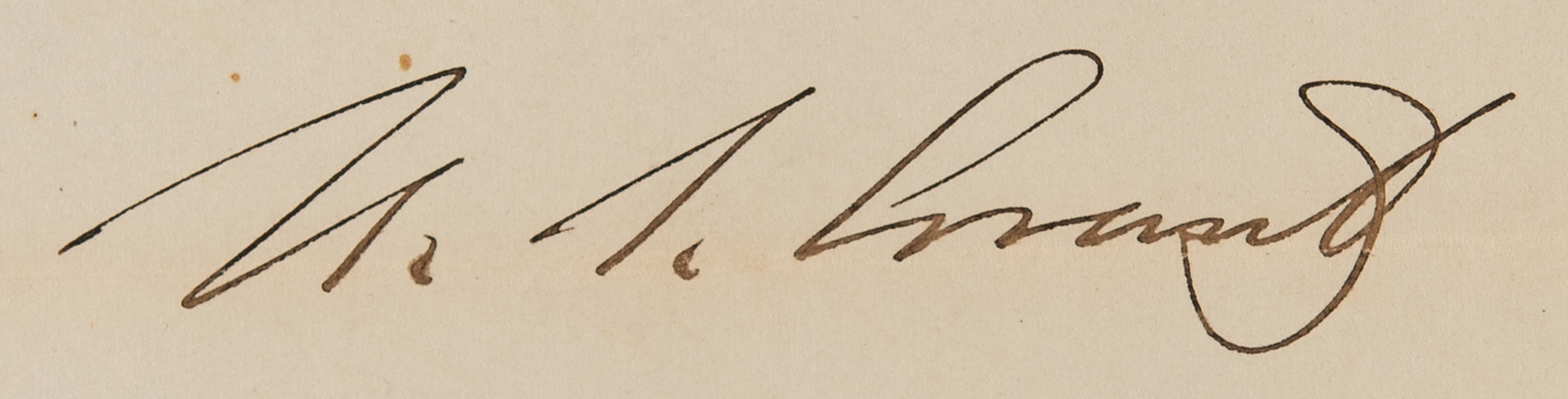
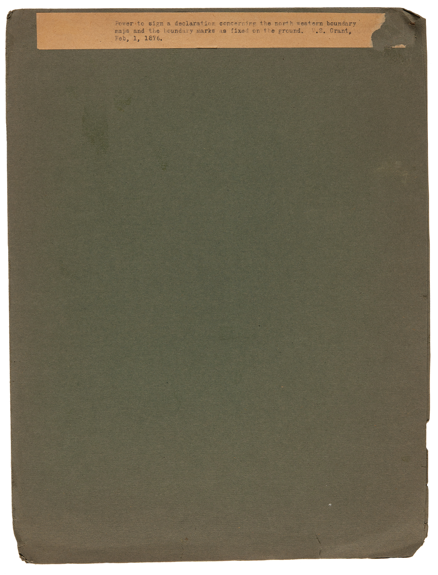
Partly-printed DS as president, one page, 8.5 x 11, February 21, 1870. President Grant directs the Secretary of State to affix the Seal of the United States to “a Power to sign a Declaration concerning North West Boundary Maps, and the boundary marks as fixed on the ground.” Signed at the conclusion by U. S. Grant. The document is affixed by its left edge inside a presentation folder. In fine condition, with a chip to the right edge and wrinkling along the left side.
The document appears to relate to the finalization of the boundary between the U.S. and British Canada in the Pacific Northwest, specifically regarding the San Juan Islands and the 49th parallel. This was part of the Northwest Boundary Survey that was tasked with physically marking the boundary as agreed upon in the 1846 Oregon Treaty. By 1870, boundary markers and maps were being finalized as part of the commission's work, and this document seems to represent President Grant's official declaration recognizing these surveyed boundaries.
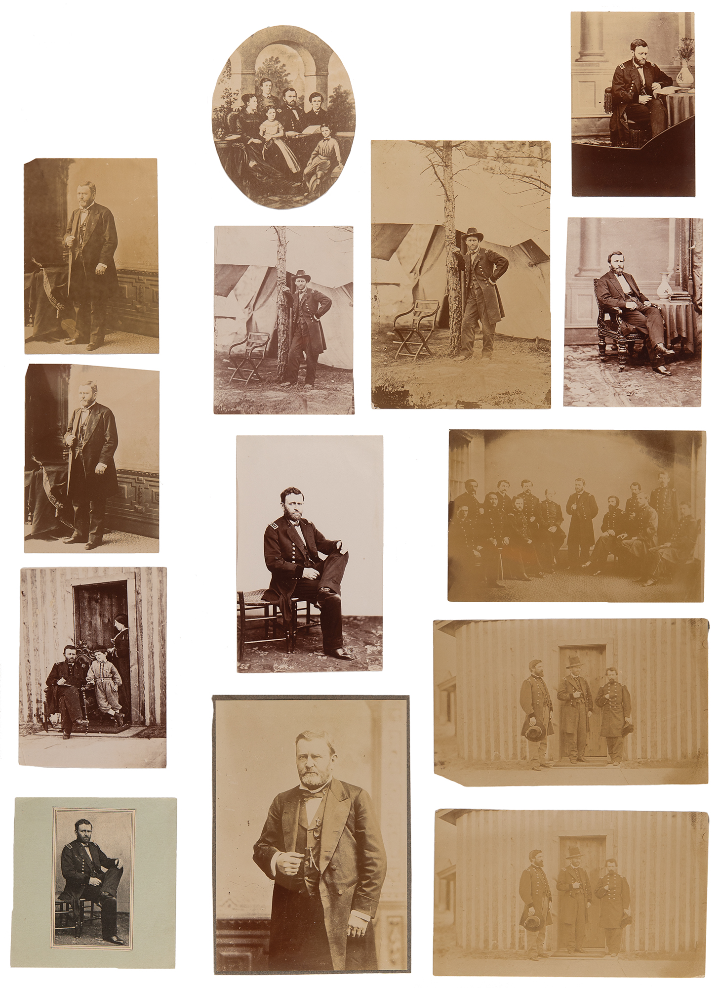
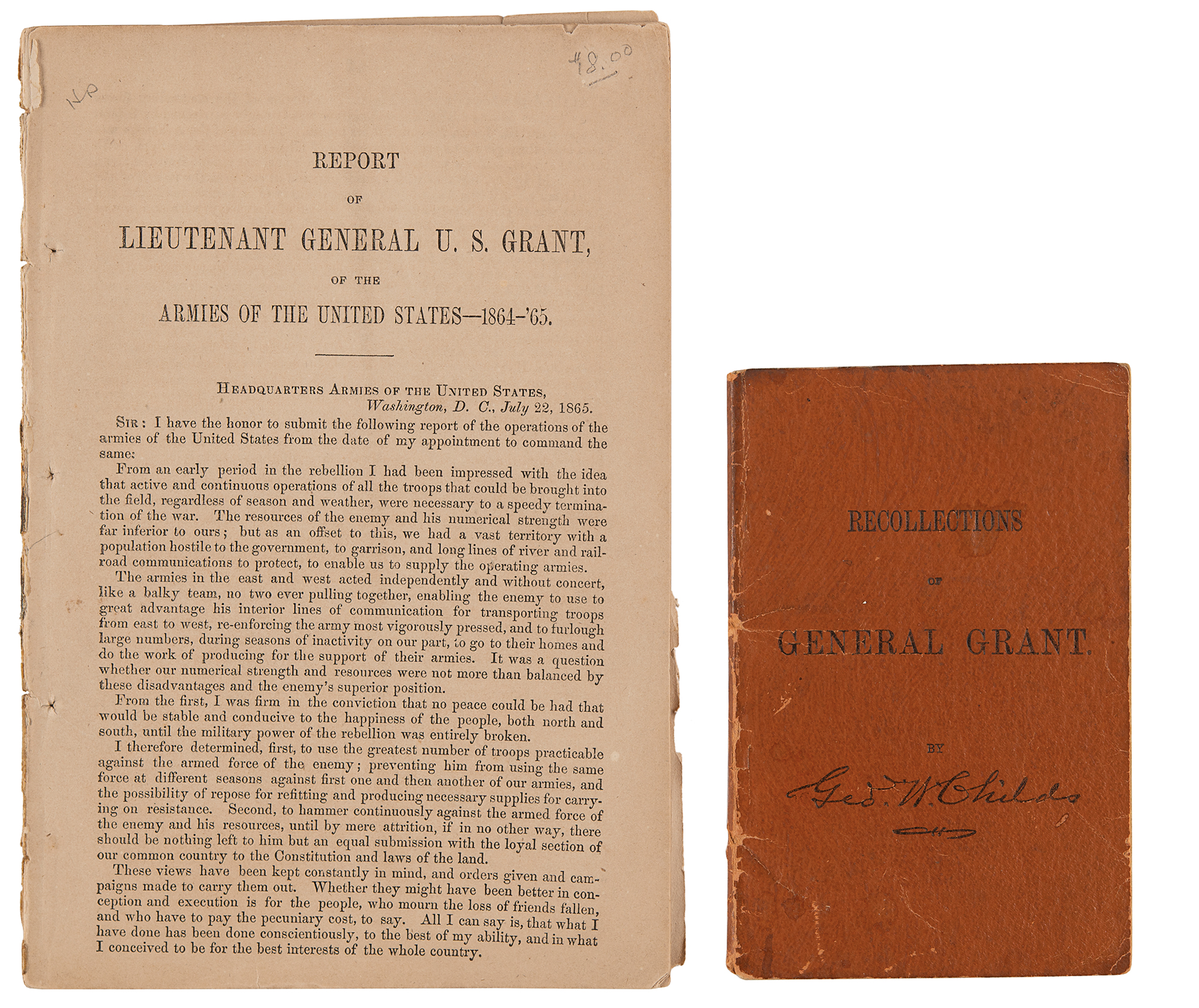
Accompanied by a collection of 27 photographs and engravings of U. S. Grant (one bearing a facsimile signature), which depict him at various stages of his formidable military and political career, and two period publications: Recollections of General Grant by George W. Childs (1890), and a 14-page ‘Report of Lieutenant General U. S. Grant of the Armies of the United States - 1864-65,’ the latter missing its cover.

