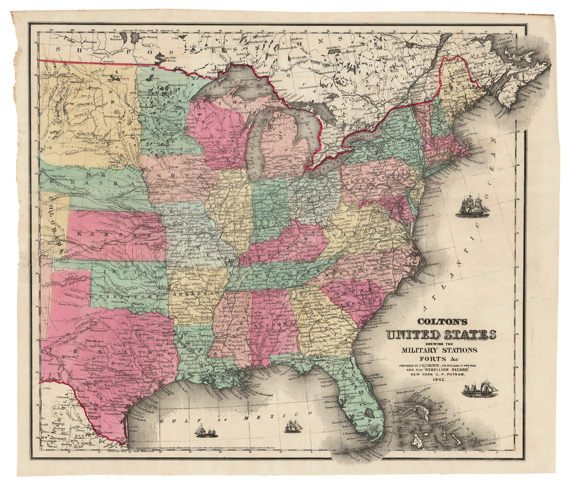
Fantastic hand-colored 17.75 x 15.25 map of the United States during the early stages of the Civil War, with legend reading: "Colton's United States, shewing the Military Stations, Forts &c, Prepared by J. H. Colton, 172 William St., New York, for the 'Rebellion Record,' New York, G. P. Putnam, 1862." Folded as issued and in fine condition. A high-quality, finely detailed map of the United States during the rebellion.